Journal Papers
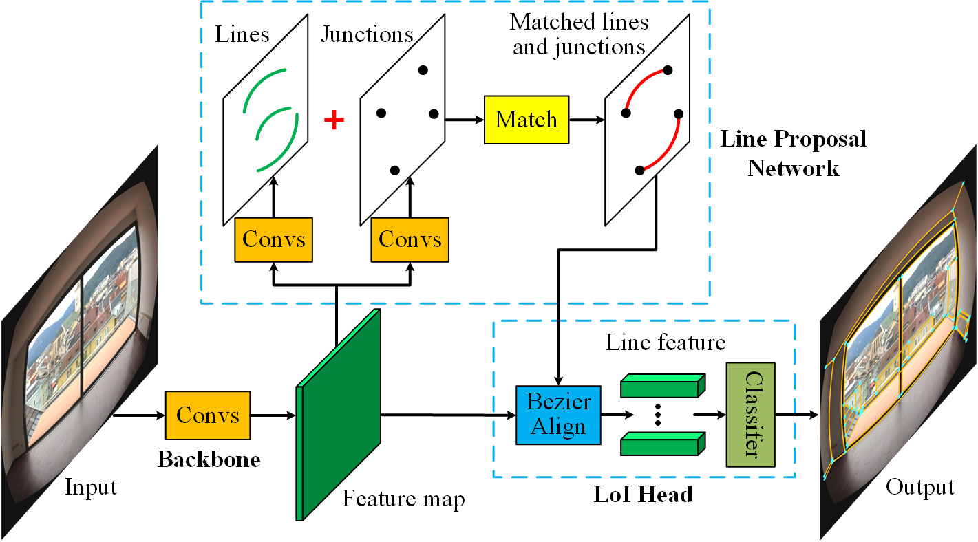
ULSD: Unified Line Segment Detection across Pinhole, Fisheye, and Spherical Cameras
ISPRS Journal of Photogrammetry and Remote Sensing, 2021.
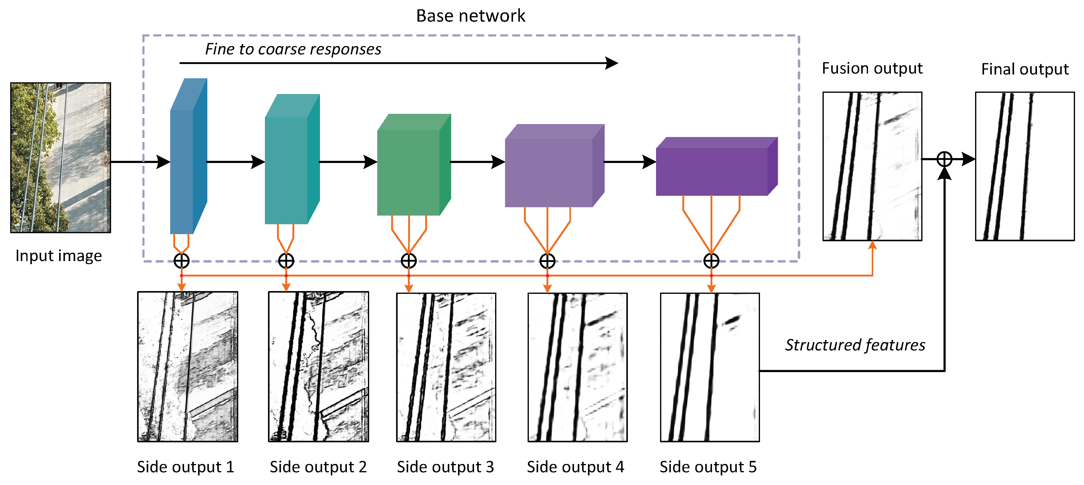
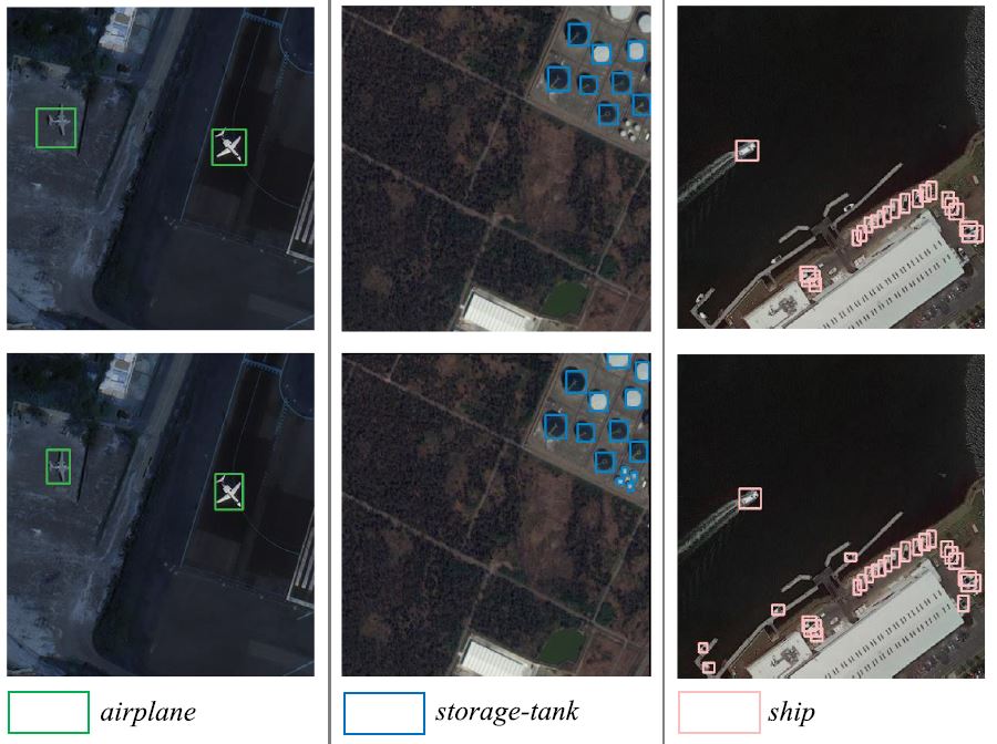
Detecting Power Lines in UAV Images with Convolutional Features and Structured Constraints
Remote Sensing, 2019.
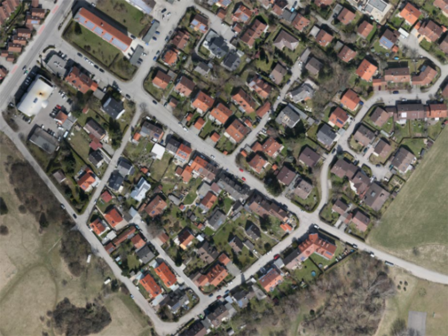
Analysis of Large Scale UAV Images using A Multi-scale Hierarchical Representation
Geo-spatial Information Science, 2018.
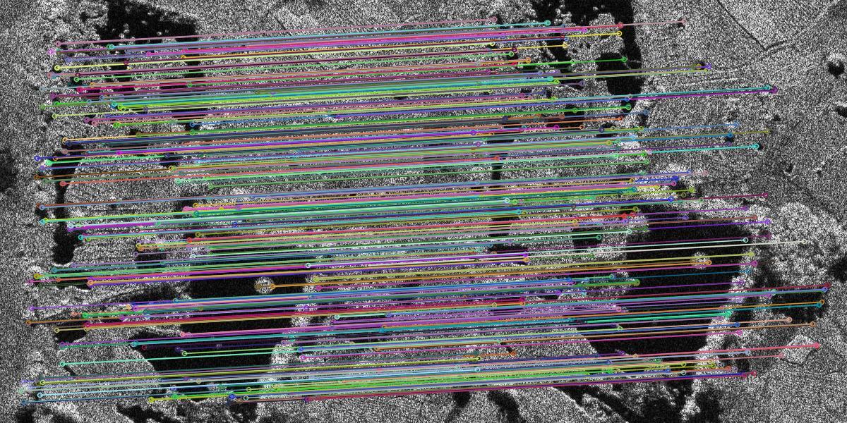
Coarse-to-Fine Accurate Registration for Airborne SAR Images Using SAR-FAST and DSP-LATCH
Progress In Electromagnetics Research, 2018.
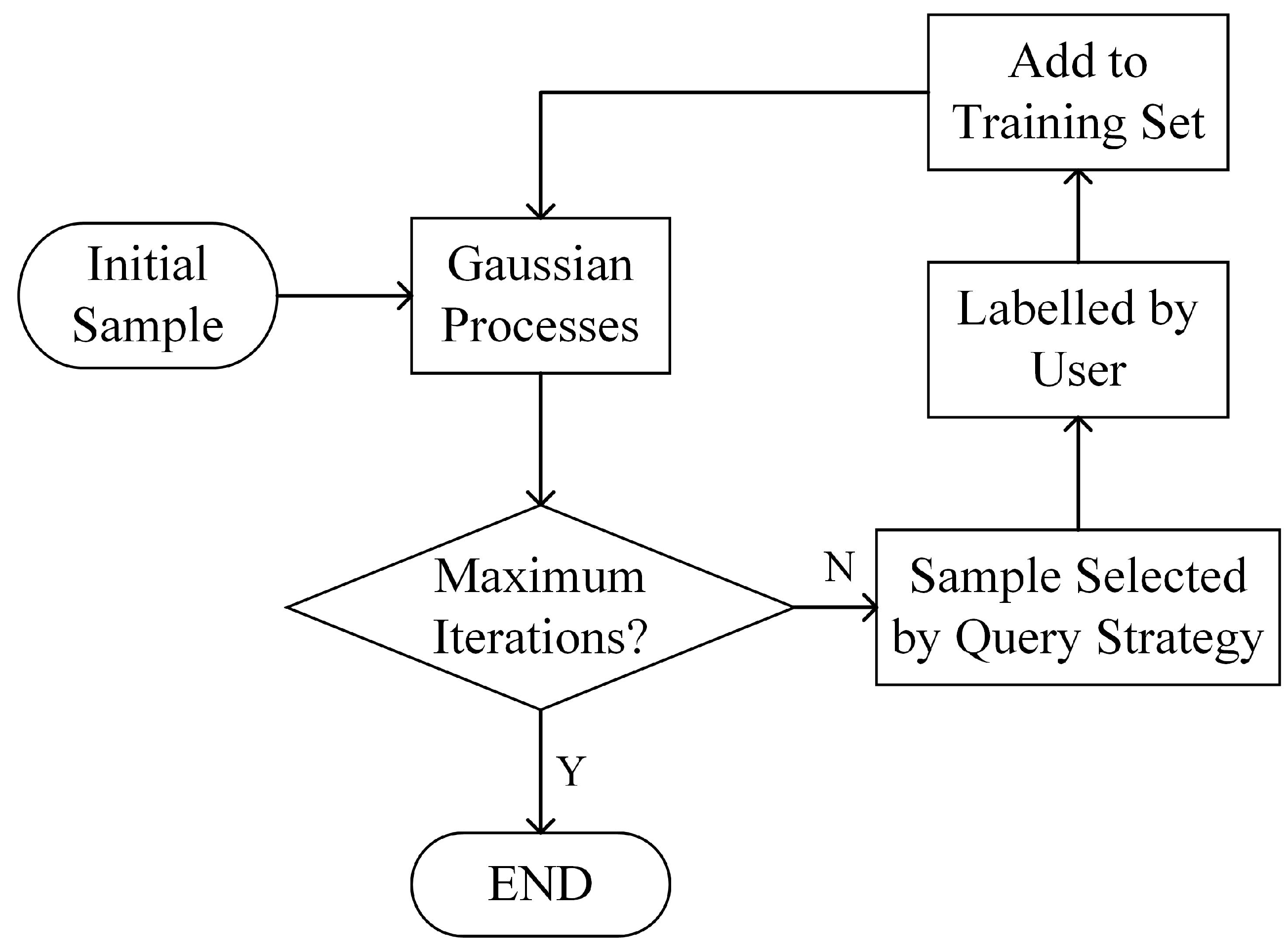
Change Detection using High Resolution Remote Sensing Images based on Active Learning and Markov Random Fields
Remote Sensing, 2017.
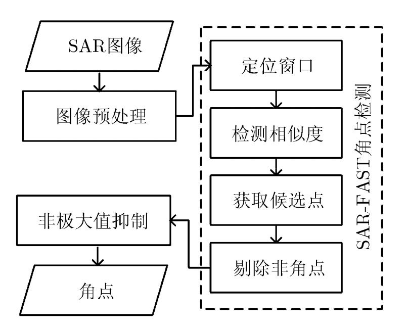
SAR Image Registration Using SAR-FAST Corner Detection
Journal of Electronics & Information Technology, 2017. (In Chinese)
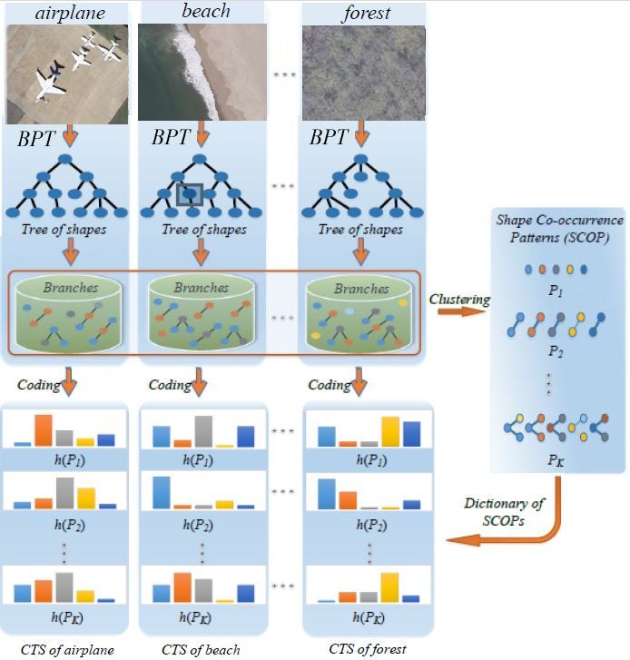
A Color-Texture-Structure Descriptor for High-Resolution Satellite Image Classification
Remote Sensing, 2016.
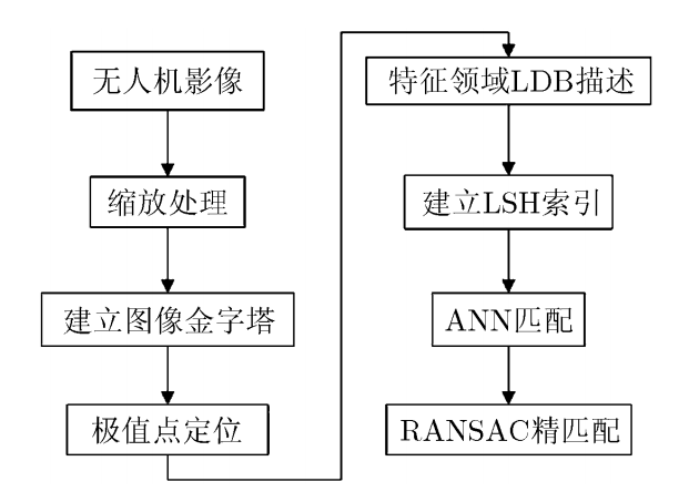
A Fast Feature Extraction and Matching Algorithm for Unmanned Aerial Vehicle Images
Journal of Electronics & Information Technology, 2016. (In Chinese)
Conference Papers
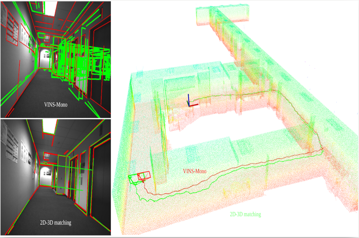
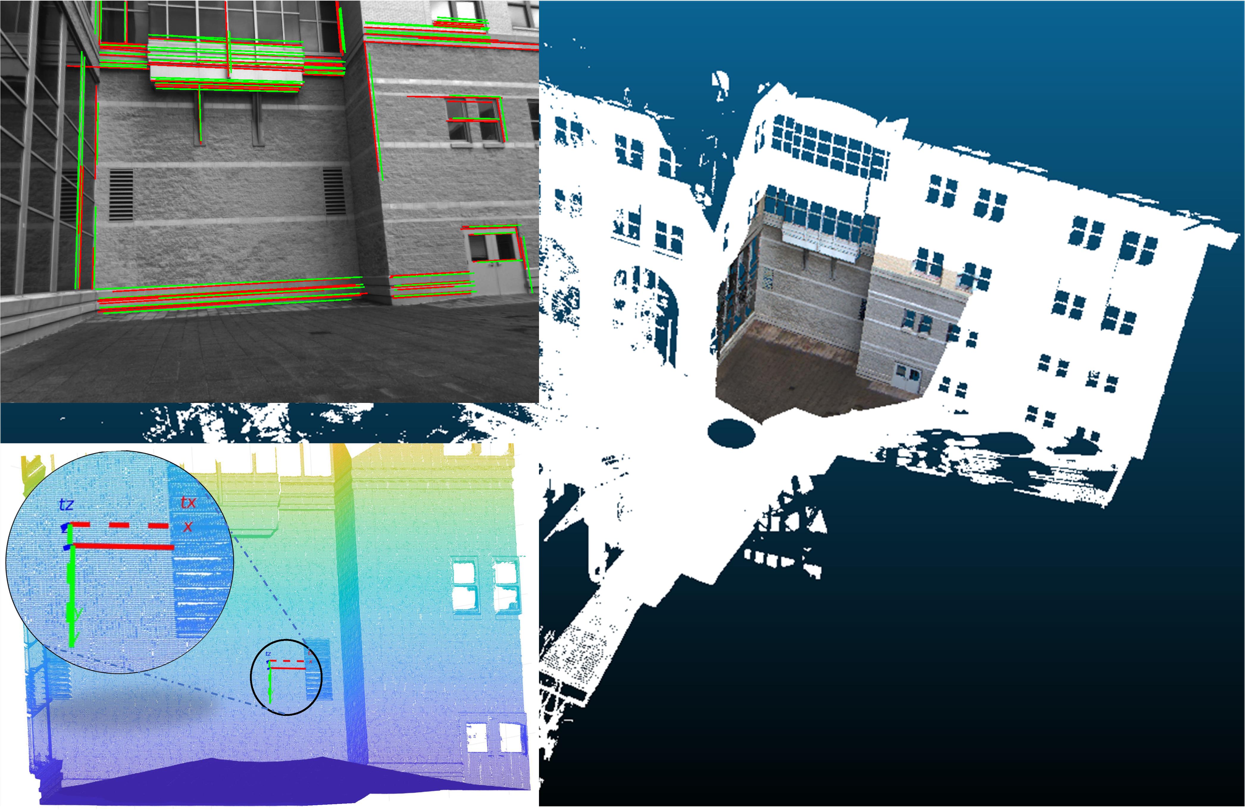
Monocular Camera Localization in Prior LiDAR Maps with 2D-3D Line Correspondences
IEEE/RSJ International Conference on Intelligent Robots and Systems (IROS), 2020.
Paper Presentation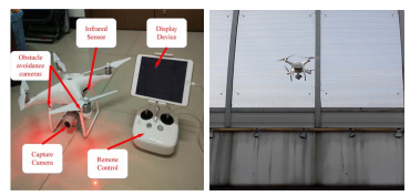
A UAV-based crack inspection system for concrete bridge monitoring
2017 IEEE International Geoscience and Remote Sensing Symposium (IGARSS), 2017.
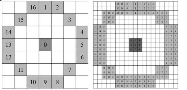
Stable feature point extraction for accurate multi-temporal SAR image registration
2017 IEEE International Geoscience and Remote Sensing Symposium (IGARSS), 2017.
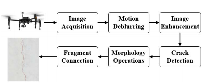
Accurate extraction of cracks on the underside of concrete bridges
2017 IEEE International Geoscience and Remote Sensing Symposium (IGARSS), 2017.

Accurate Object Matching for UAV Imagery Using Multi-scale Best-buddies Similarity
2017 IEEE International Geoscience and Remote Sensing Symposium (IGARSS), 2017.
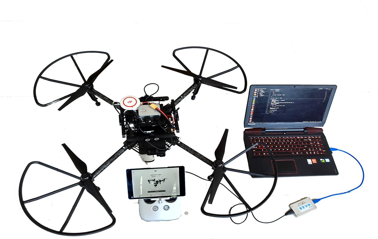
An Intelligent Unmanned Aircraft System for Wilderness Search and Rescue
International Micro Air Vehicles Conference and Flight Competition (IMAV), 2017
We designed a wilderness search and rescue (WiSAR) system based on DJI M100 Unmanned Aerial Vehicle (UAV) and a ground station to search and rescue the survivors in wild.

Interactive change detection of high resolution remote sensing images based on active learning with gaussian processes
The International Annals of the Photogrammetry, Remote Sensing and Spatial Information Sciences, 2016.

